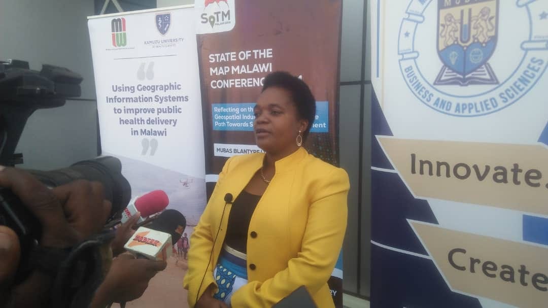
MUBAS Celebrates First Cohort of Homegrown Geospatial Mapping Experts
The conference brought together mappers to build community, share tools, and establish networks, marking a significant step in Malawi's geospatial mapping capabilities.
BLANTYRE, Malawi— The Malawi University of Business and Applied Sciences (MUBAS) says the country stands to benefit greatly from its first cohort of locally trained geospatial experts, writes Steven Godfrey Mkweteza.
Professor Nancy Chitera, MUBAS Vice Chancellor, made this statement Friday during the closing ceremony of Malawi's inaugural State of the Map conference in Blantyre.
"Over the past years, the country has had no institution that trained geospatial experts, negatively affecting the mapping of locations such as roads and towns," Chitera said.
She added that MUBAS introduced geospatial mapping programs in its schools of built environment and engineering to address this gap.
Chitera emphasized that local training will save money previously spent on hiring foreign experts or sending students abroad.
She also called for reflection on the industry's growth and its impact on sustainable development goals.
Paul Kalonde, a Ph.D. candidate in geospatial mapping and conference organizing chairperson, expressed enthusiasm about the industry's growth. He highlighted its role in digitally tracking disasters and disease outbreaks.
Kalonde stressed the need for youth involvement in geospatial mapping.
"The country cannot achieve its Malawi 2063 agenda without the full involvement of youth. This is one of the industries which the country can encourage youth to participate in," he said.
The conference brought together mappers to build community, share tools, and establish networks, marking a significant step in Malawi's geospatial mapping capabilities.


